


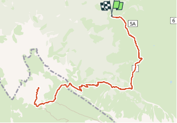


3,4 km | 5,7 km-effort

Gebruiker


Gratisgps-wandelapplicatie
 SityTrail
IGN / Geografische instituten
SityTrail World
De wereld gaat voor u open
Tocht Stappen van 14,9 km beschikbaar op Trento-Zuid-Tirol, Bolzano - Bozen, Kastelruth - Castelrotto. Deze tocht wordt voorgesteld door VacheKiri67.
Faite le 18/07/2024.
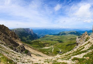
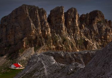
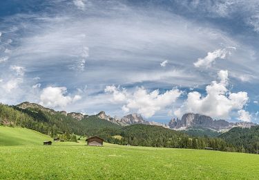
D'après "Rother : Dolomiten 1 - 41 Schlern, 2564 m". Durée indiquée pour le circuit : 6h00. Parking gratuit à Spitzbühl. Attention la route d'accès est fermée de 9h à 17h. Prendre le télésiège (8h30-17h).
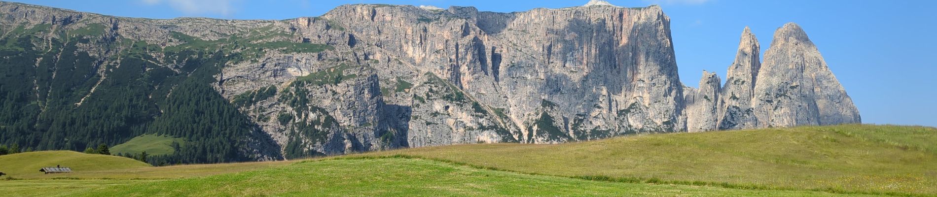
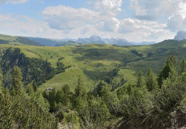
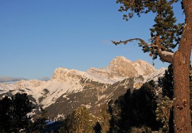
Le Schlern est un sommet emblématique du Seiser Alm.
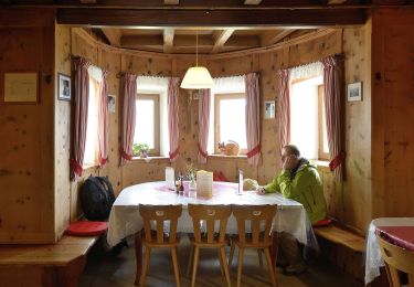
La randonnée est magnifique.
Il faut bien gérer sa montée dans la partie rude des lacets avec de hautes marches de pierre. La suite est beaucoup plus abordable. Bonnes chaussures indispensables.
https://www.seiseralm.it/de/aktivurlaub/sommerurlaub/wandern/geoeffnete-bergbahnen.html


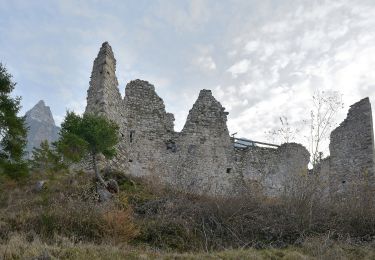
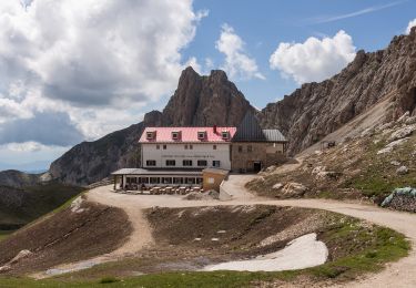
62 fotos in totaal. Klik op een foto om ze allemaal in de galerij weer te geven.
Te voet
Te voet
Te voet
Te voet
Te voet
Te voet
Te voet
Te voet
Te voet